01
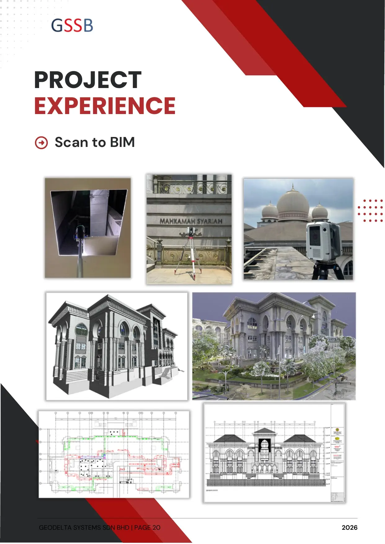
Scan-to-BIM
Accurate as-built models and measured drawings developed from registered point clouds for planning, refurbishment, coordination and asset operations.
Expertise
Terrestrial laser scanning, integrated modelling and information management for complex AEC and asset environments.
Accurate as-built models and measured drawings developed from registered point clouds for planning, refurbishment, coordination and asset operations.
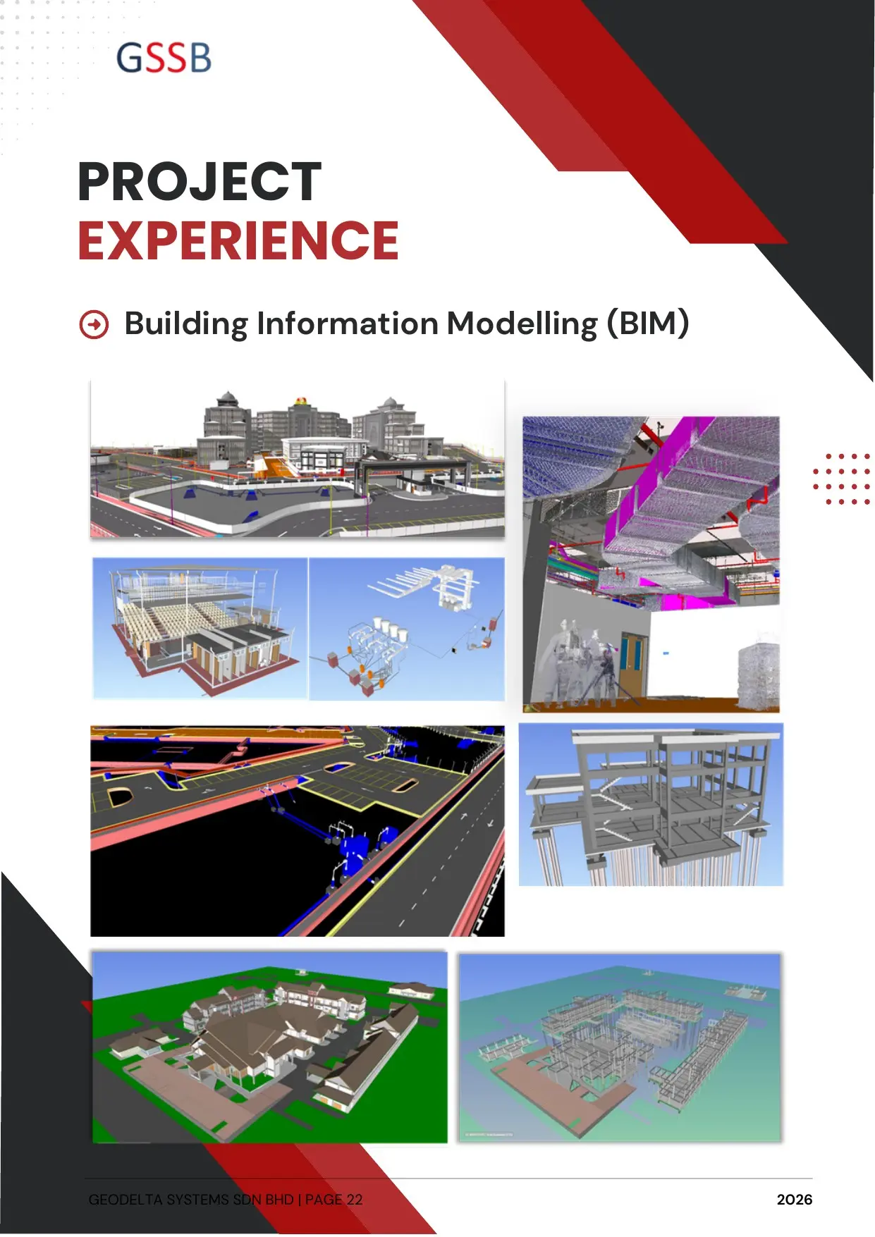
BIM strategy, execution planning, coordination, modelling, information management and digital delivery aligned with ISO 19650.
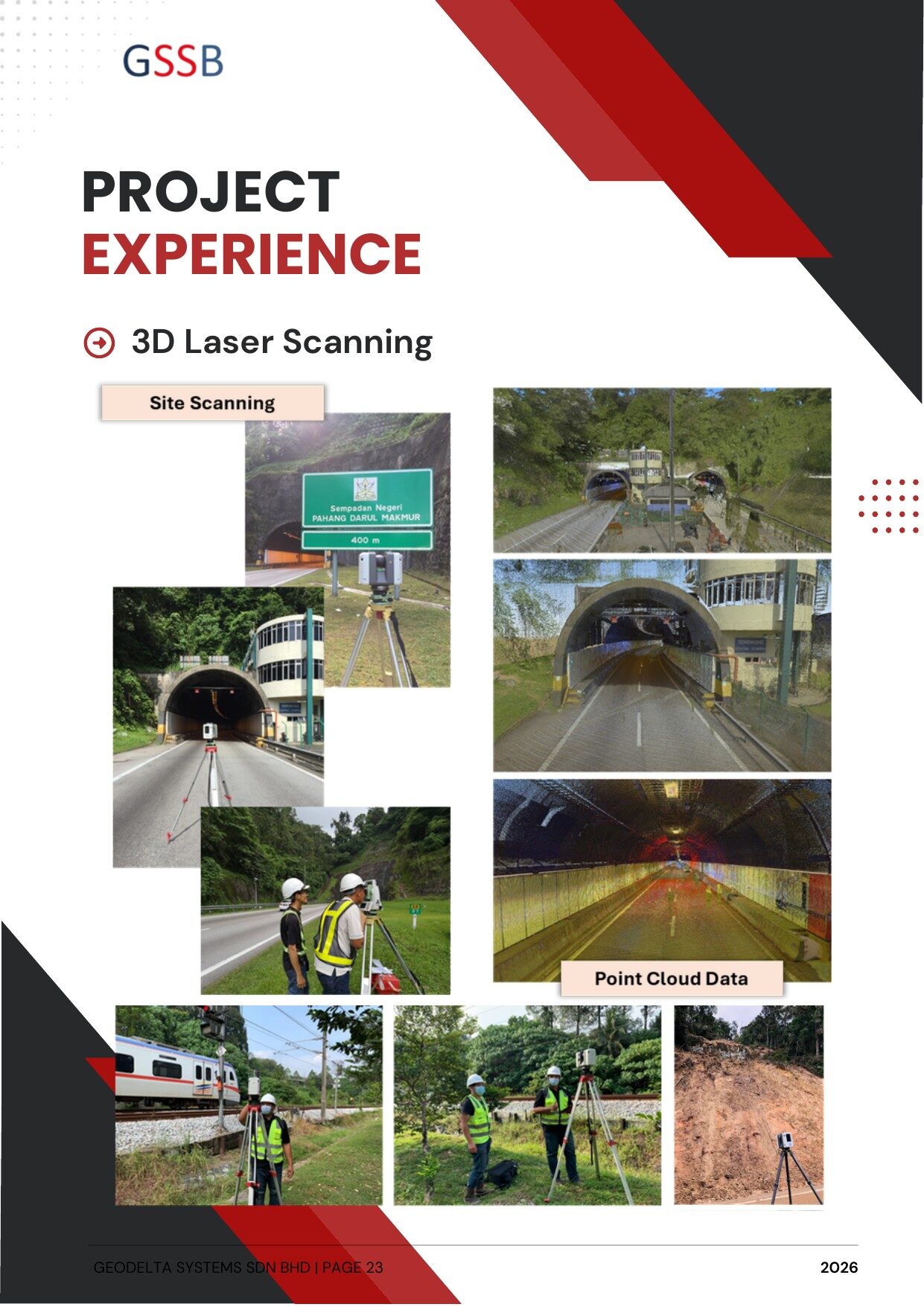
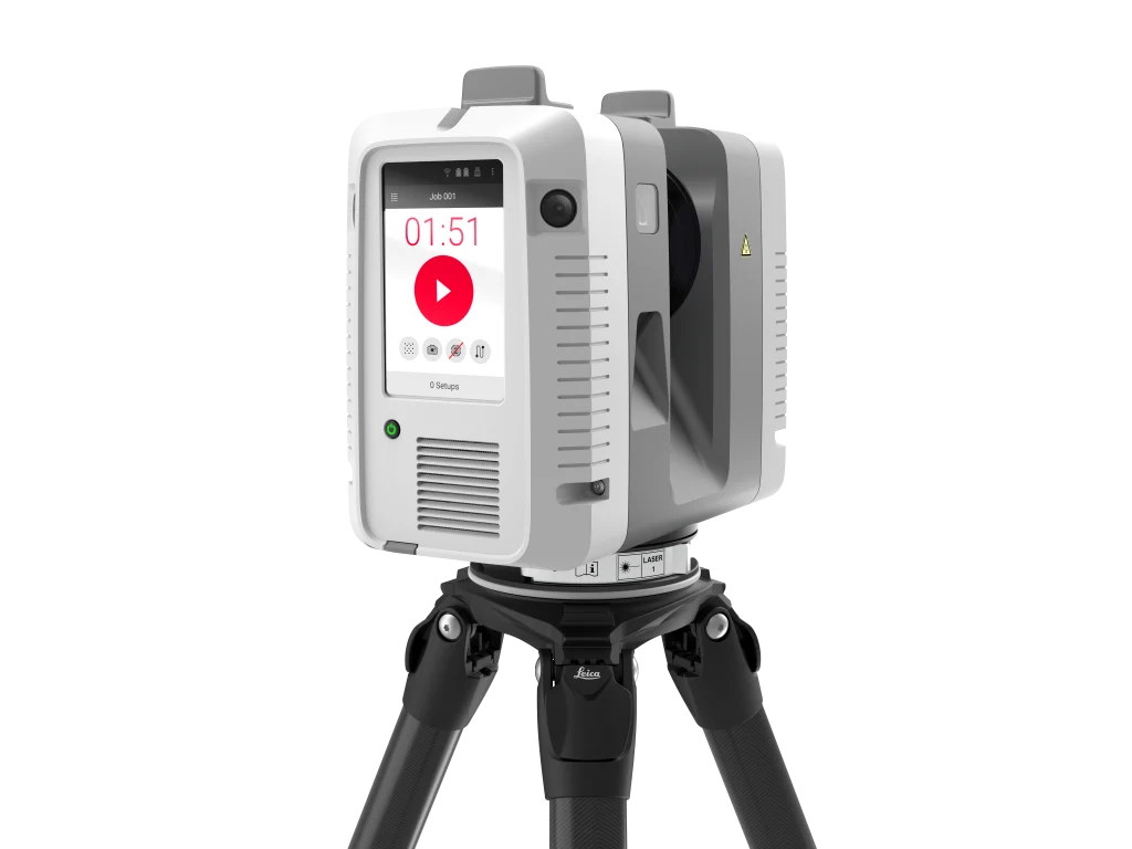
High-density terrestrial laser scanning and mobile scanning for buildings, infrastructure, industrial plants and complex operating environments.
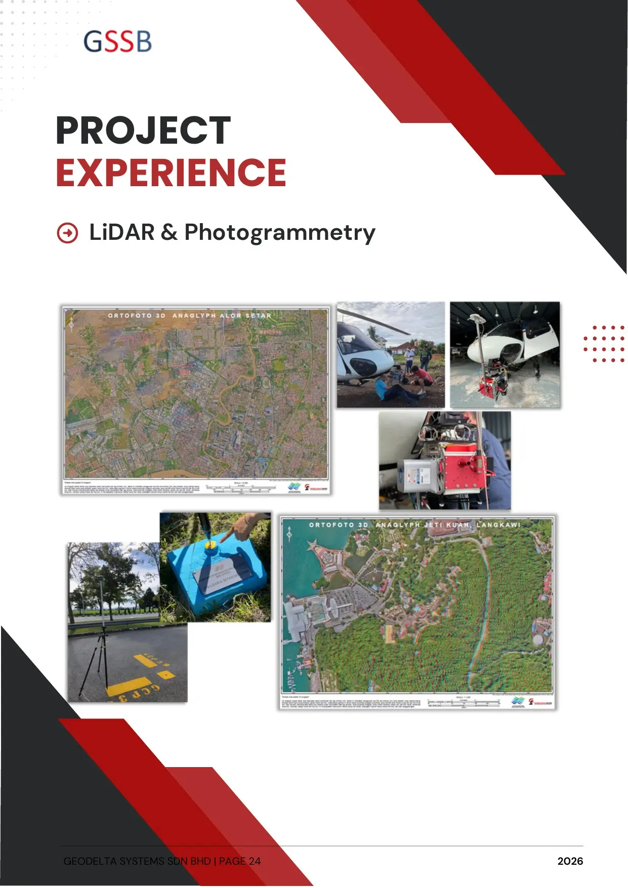
Integrated airborne, terrestrial and photographic capture for large-area mapping, topography, façades and digital twins.
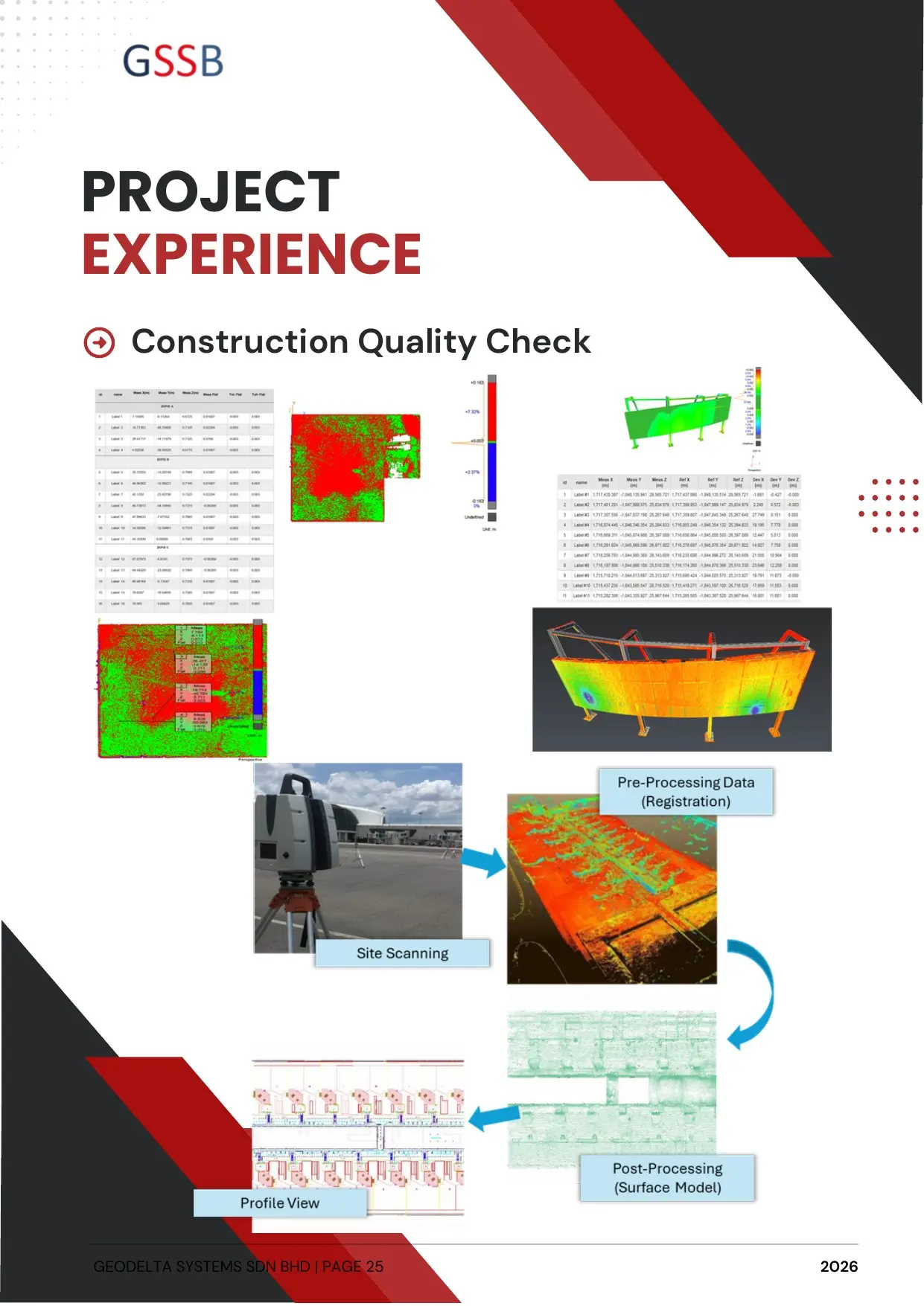
Objective dimensional verification, deviation analysis and progress evidence connecting site conditions with design intent.
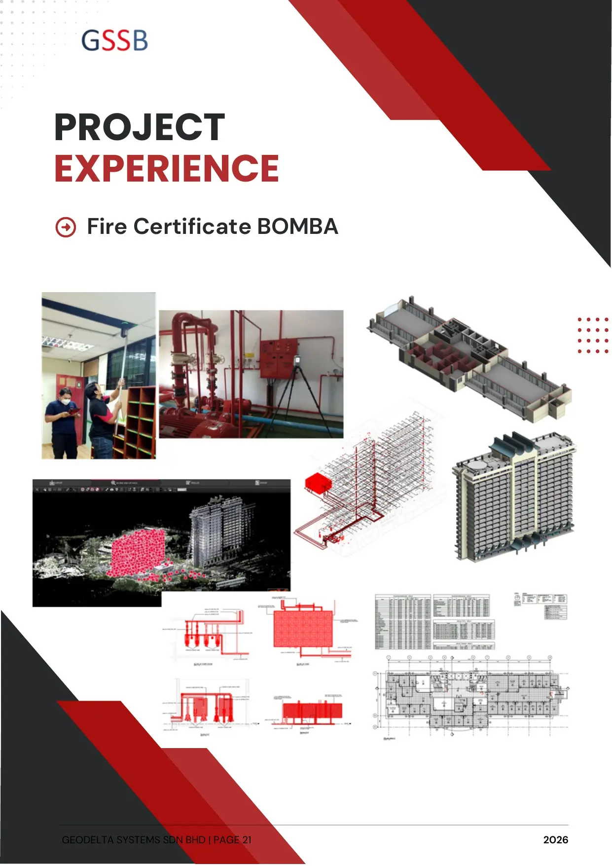
Structured, reliable information for digital handover, facility planning and lifecycle decisions beyond project completion.
Technology with purpose
We select the right mix of terrestrial, mobile, airborne and underground data capture based on access, accuracy, scale and final information use.